Surveying & 3D Scanning
3D Laser Scanning
Millions of measured points per setup — the whole space recorded, not just the dimensions someone remembered to take.
3D laser scanning that records the whole space
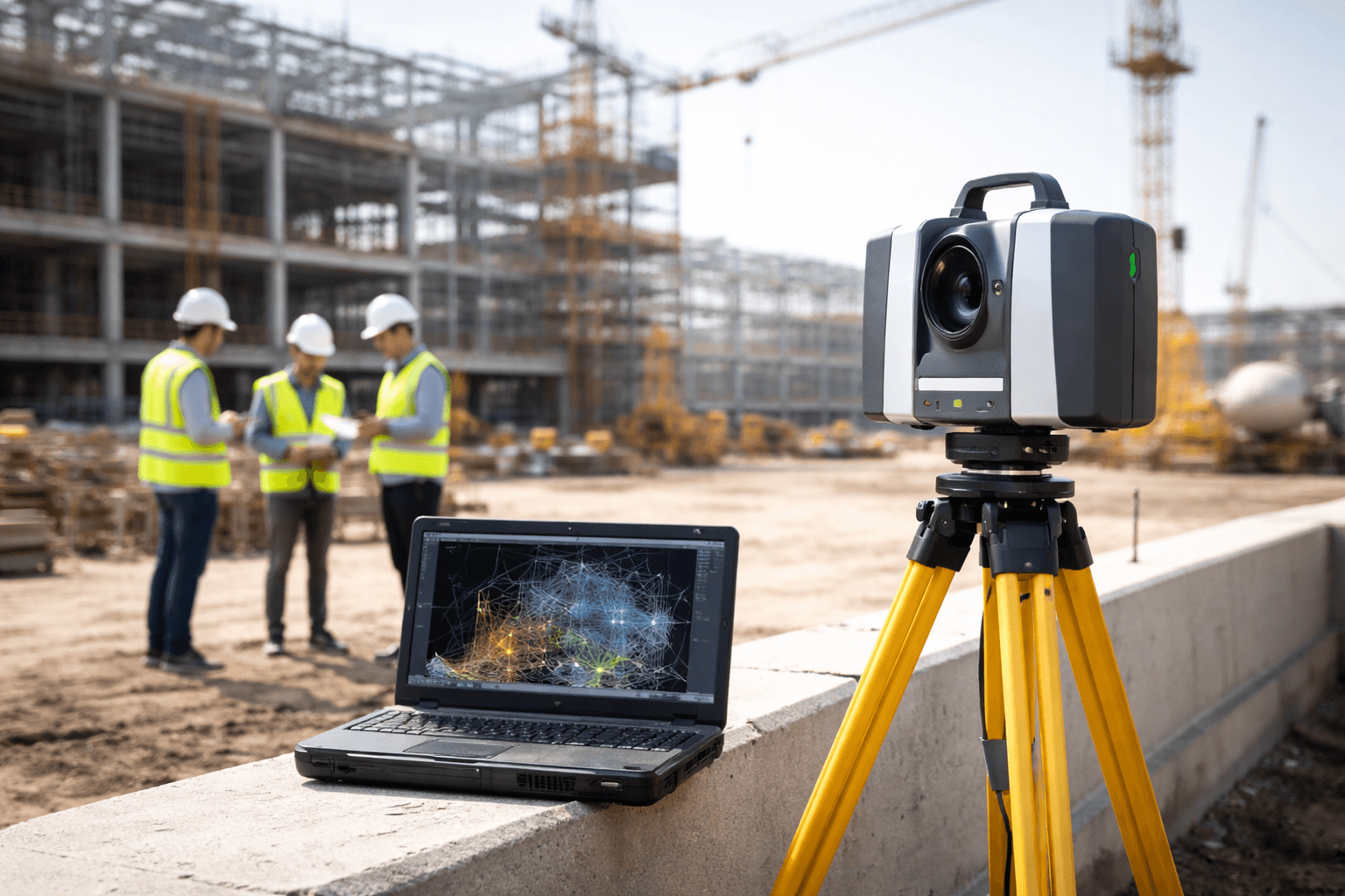
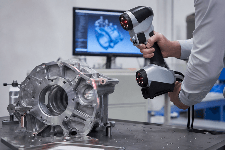
A laser scanner measures millions of points from each setup position. The setups are registered into one point cloud — a measured record of the plant, building or component exactly as it stands today.
Scanning is non-contact, so it works on live, operating sites with minimal disruption. The same cloud then feeds every downstream deliverable: as-built drawings, Scan to BIM, BIM models and reverse-engineered CAD.
- Point cloud
- E57, RCP / RCS
- CAD extracts
- DWG
- Imagery
- Panoramic views, where specified
- Quality record
- Registration report
What you get
Scan planning
Setup positions and coverage planned around the deliverable you need, with the required accuracy agreed before anyone goes to site.
Registered point cloud
All setups registered into one coordinated cloud and checked, with a registration report you can audit.
Live-site capture
Non-contact measurement that works around operations, within your site permits and HSE requirements.
Hard-to-reach areas
High, congested or restricted areas measured from a safe distance instead of by hand.
Colour and imagery
Colourised clouds and panoramic imagery where the scope calls for it, for remote site walk-throughs.
Ready for modelling
A cloud prepared for drafting and modelling, so the next deliverable starts from verified geometry.
How it works
- 01
Scope and scan plan
Area, purpose, accuracy and deliverables agreed; setup positions planned.
- 02
Site capture
Scanning carried out under site permits, with minimal disruption to operations.
- 03
Registration and QA
Setups registered into one cloud and checked against the agreed tolerance.
- 04
Delivery
Point cloud, imagery and registration report issued in the agreed formats.
Where it’s used
- Process plants and piping
- Tanks and vessels
- Buildings and facilities
- Structural steel
- Retrofit and brownfield projects
- Shutdown planning
Frequently asked questions
Can you scan while the plant is operating?
Usually, yes. Laser scanning is non-contact, so most areas can be captured while the facility runs, subject to your site permits, safety rules and access.
How accurate is 3D laser scanning?
Accuracy depends on the scanner, range, surface and registration. The accuracy the project needs is agreed in the scan plan and reported in the registration report — we don't quote one figure for every site.
Which file formats will I receive?
Point clouds are typically delivered as E57 (an open format) and RCP / RCS for Autodesk software, with DWG extracts where needed. Formats are agreed in the scope.
What is the difference between a point cloud and a model?
A point cloud is the raw measured record — millions of points. A model or drawing is built from it: as-built drawings, a BIM model or CAD solids. One scan can produce several of these.
Other surveying services
Ready to Start Your Next Project?
Get in touch with our engineering team for a free consultation and a tailored proposal for your site.