
Surveying & 3D Scanning
As-Built Survey
Plans, sections and elevations of what is actually there — including every modification nobody recorded.
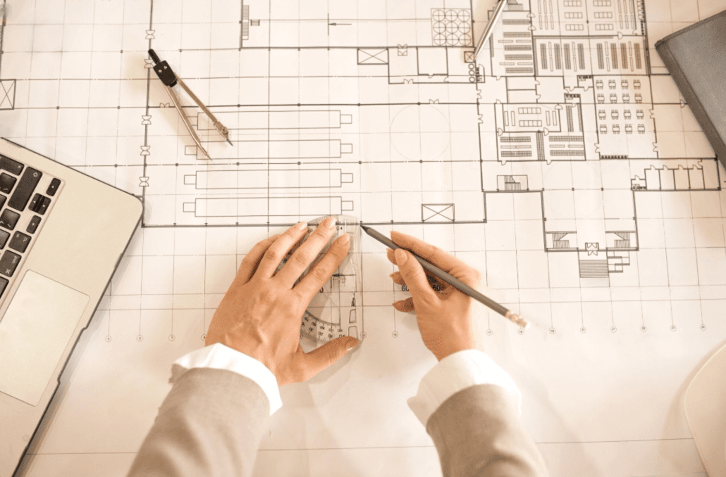
As-built drawings of what is actually there
Existing drawings rarely match the site. Equipment gets moved, pipework rerouted and walls changed, and none of it makes it back onto paper. An as-built survey records the facility as it stands today.
We draft plans, sections and elevations directly from the registered point cloud, so every dimension is measured rather than assumed — and deliver them in your CAD standard and title block.
- Drawings
- DWG, DXF
- Issue set
- Source data
- Point cloud on request (E57, RCP)
- Standard
- Your CAD standard and title block
What you get
Plans, sections and elevations
A coordinated 2D drawing set of buildings, structures and plant areas.
Equipment and piping layouts
General arrangements showing equipment positions, routing and clearances as built.
Field modifications captured
Changes made on site but never recorded are picked up from the scan.
Your CAD standard
Layers, line types, title block and naming to your standard.
Update existing drawings
Legacy drawings checked and corrected against the cloud instead of redrawn from scratch.
Traceable to the scan
Every dimension comes from measured geometry you can go back and verify.
How it works
- 01
Agree the drawing list
Areas, drawing types, scale and CAD standard confirmed.
- 02
Scan the site
A registered point cloud captured to the accuracy the drawings need.
- 03
Draft from the cloud
Drawings produced directly from the measured geometry.
- 04
Check and issue
Drawings checked against the cloud and issued in your formats.
Where it’s used
- Plant modifications
- Building refurbishment
- Facility management records
- Permit and authority submissions
- Tank and equipment replacement
- Design basis for new work
Frequently asked questions
Do you work to our CAD standard?
Yes. Send us your CAD standard, template and title block and the drawings are produced to it.
Can you update our existing drawings instead of redrawing them?
Yes. Existing drawings can be checked against the point cloud and corrected, which is often faster than starting from scratch.
Why not measure by hand?
Hand measurement captures only the dimensions someone thinks to take, and missed ones mean revisits. A scan records everything once, so later questions are answered from the cloud.
Can we also get a 3D model later?
Yes. The same point cloud can be used for Scan to BIM or BIM modelling later, often without returning to site.
Other surveying services
Ready to Start Your Next Project?
Get in touch with our engineering team for a free consultation and a tailored proposal for your site.