
Services
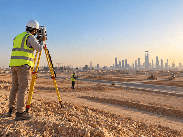
Surveying & 3D Scanning Services
Retrofit work fails on bad dimensions. We scan existing plants, buildings and components, then deliver as-built drawings, BIM models or CAD solids from the same captured reality.
Captured once, delivered as drawings, BIM or CAD
Every project starts with a 3D laser scan of what is actually there. From that one registered point cloud we produce the deliverable the work needs — and another can be added later without going back to site, provided the scan covered the area.
The capture
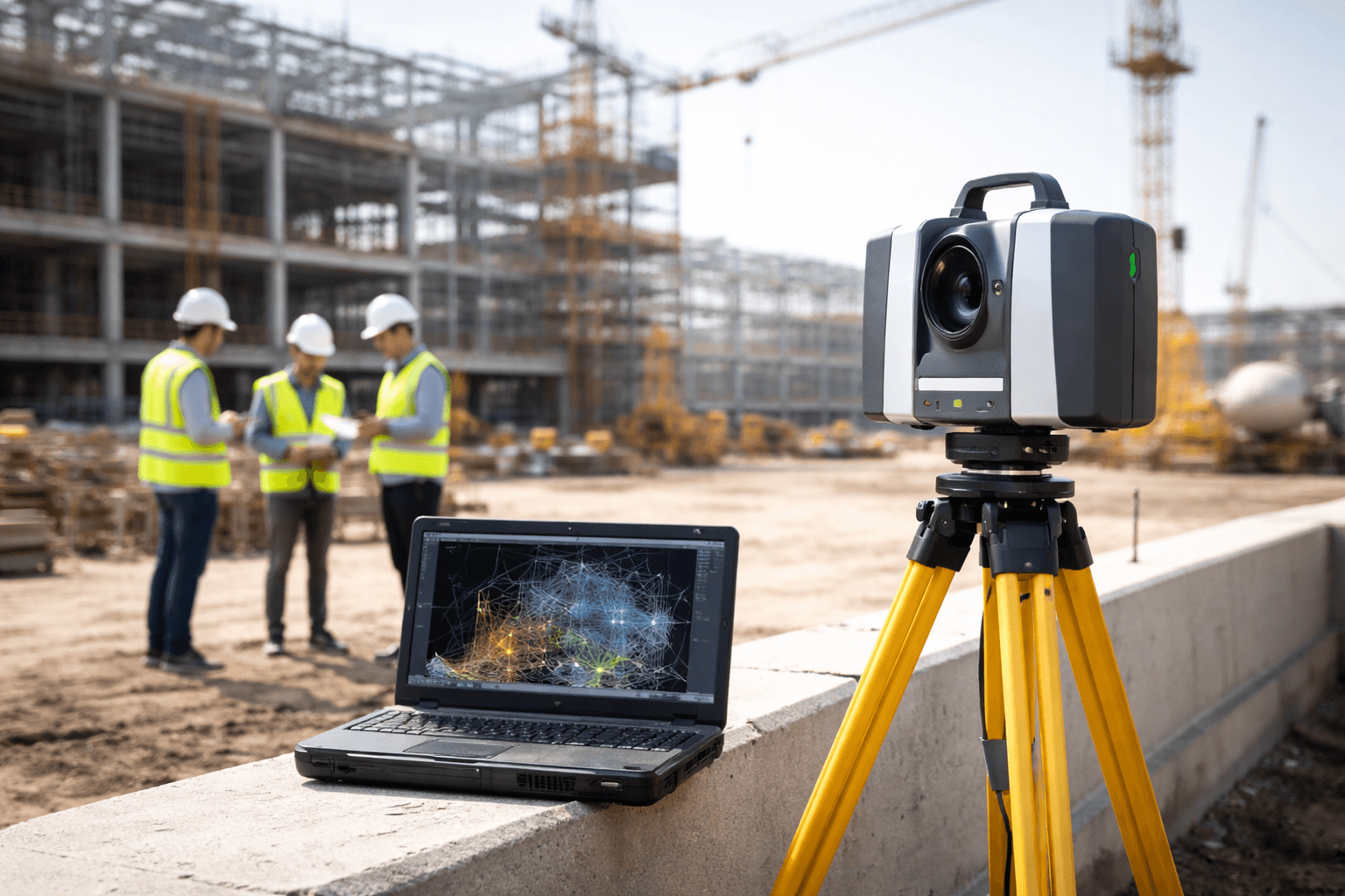
3D Laser Scanning
Millions of measured points per setup — the whole space recorded, not just the dimensions someone remembered to take.
View 3D Laser Scanning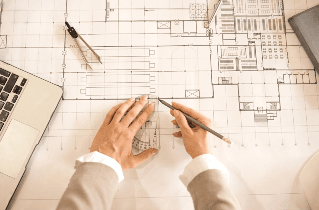
2D drawings
As-Built Survey
Plans, sections and elevations of what is actually there — including modifications nobody recorded.
BIM model from the scan
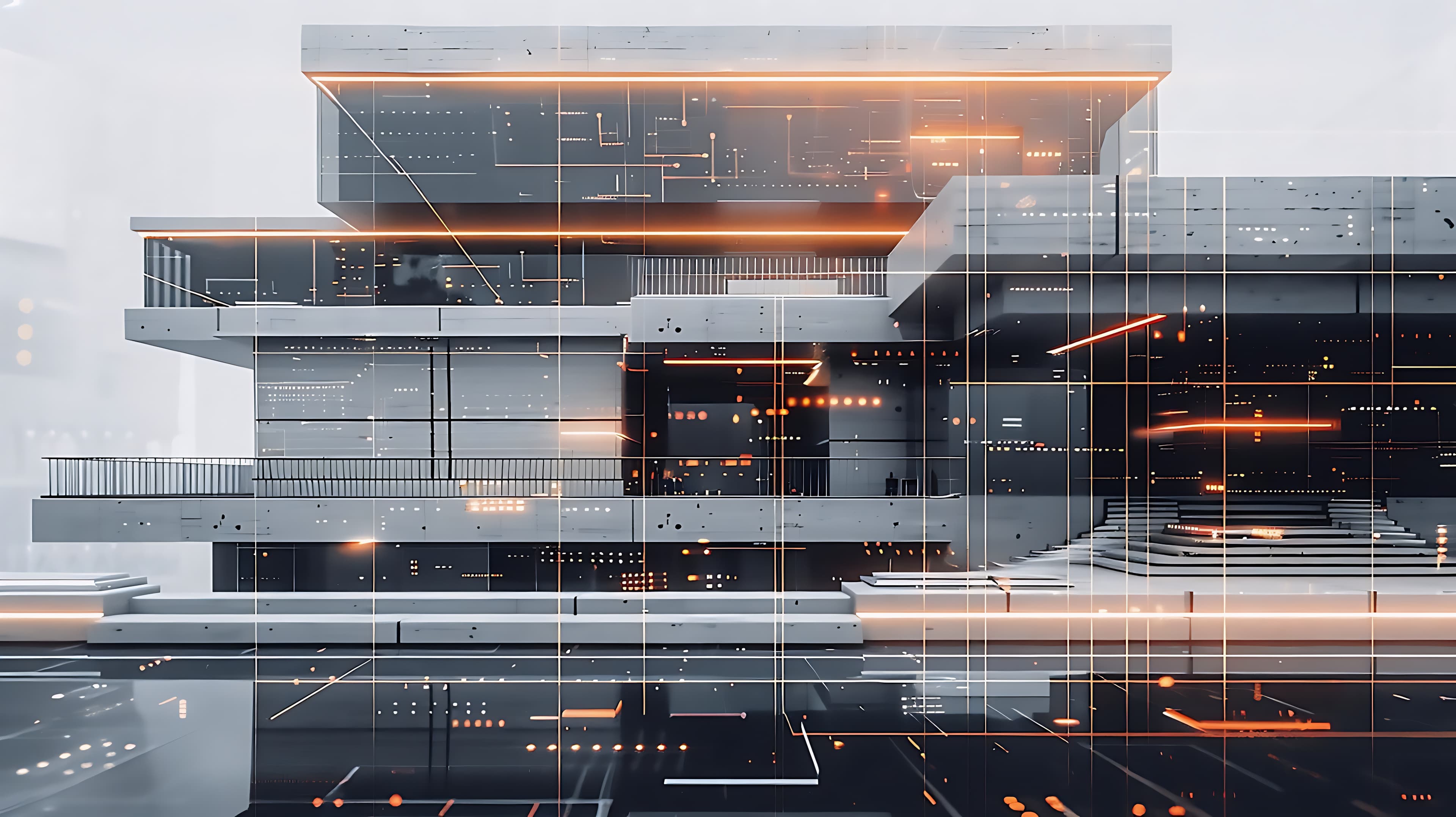
Scan to BIM
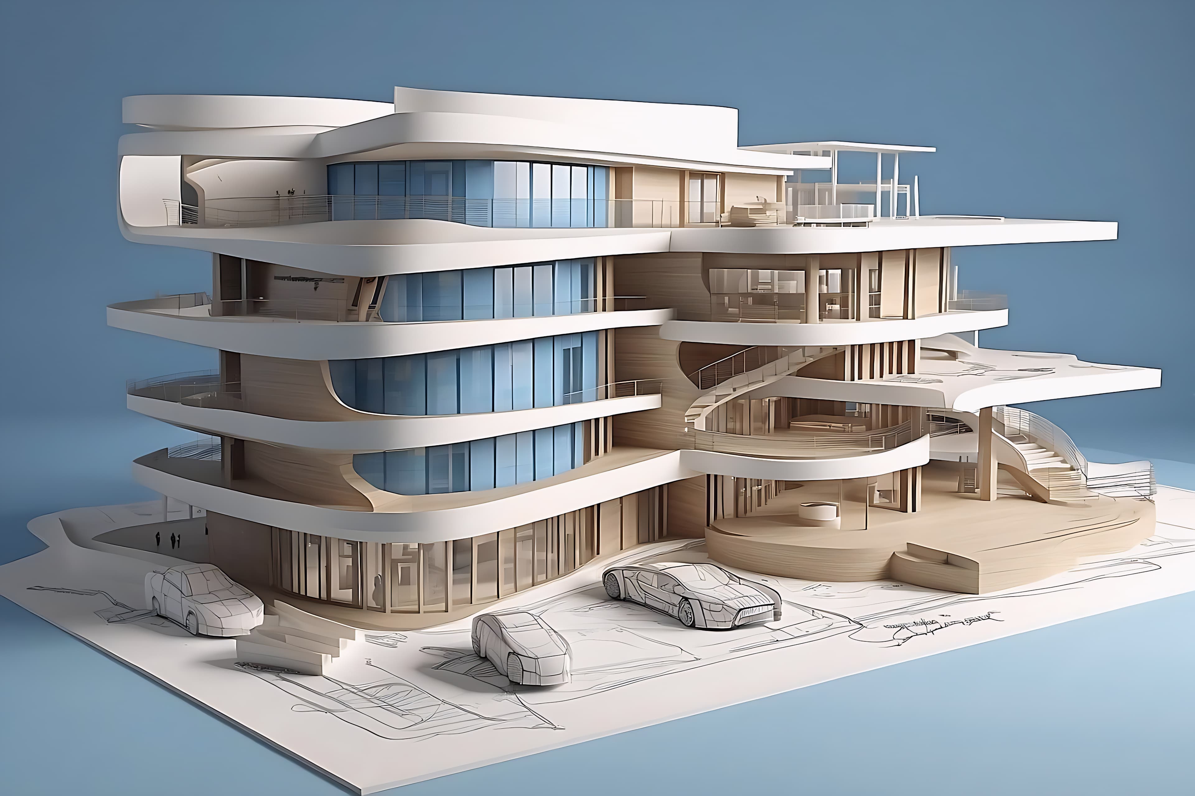
Point cloud converted into a parametric model, at a level of detail agreed element by element.
Coordinated models
BIM Modelling
Models from drawings, design intent, vendor data or scans — coordinated so clashes surface in the model, not on site.
Editable CAD
Reverse Engineering
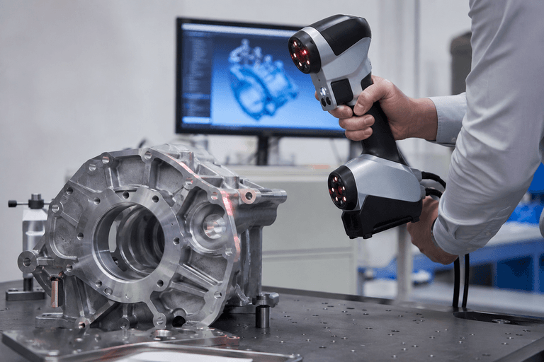
Obsolete or undocumented components scanned and rebuilt as editable CAD.
Not sure which deliverable you need?
Tell us what the information is for and roughly how big the area is. We’ll scope the scan and the deliverable together.
Drawings, BIM model or CAD?
All three come from the same scan. Choose by what the information is for; final formats are agreed in the scope.
- Best for
- Permits, maintenance records and 2D design work
- You receive
- Coordinated 2D drawing set to your CAD standard
- Typical formats
- DWG, DXF, PDF
- Service
- As-Built Survey
- Best for
- Design, coordination and facility management
- You receive
- Parametric BIM model, deviation-checked to the cloud
- Typical formats
- RVT, IFC, NWC
- Service
- Scan to BIM or BIM Modelling
- Best for
- Replacement parts, modifications and manufacturing
- You receive
- Editable parametric CAD, drawings and deviation report
- Typical formats
- STEP, IGES, STL, DWG
- Service
- Reverse Engineering
From site to deliverable
- 01
Scope and scan plan
Area, purpose, accuracy and deliverables agreed before anyone goes to site.
- 02
Site capture
Scanning carried out under your permits, with minimal disruption to operations.
- 03
Registration and QA
Setups registered into one point cloud and checked against the agreed tolerance.
- 04
Drafting or modelling
Drawings, BIM models or CAD built directly from the measured geometry.
- 05
Delivery and support
Files issued in the agreed formats, with the cloud kept for later questions.
Where it’s used
- Process plants and piping
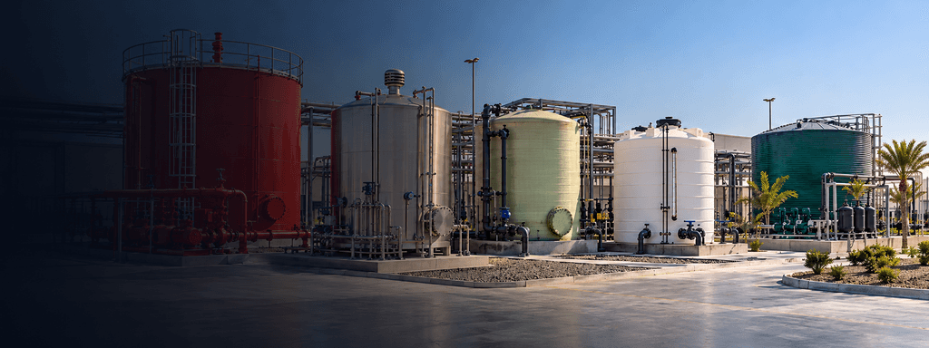
- Tanks, vessels and equipment
- Buildings and facilities
- Plant modifications and retrofits
- Shutdown and turnaround planning
- Obsolete spare parts
Typical file formats
Final formats are agreed in the scope to suit your software and standards.
Frequently asked questions
Which surveying service do I need?
Tell us what the information is for. If you need drawings, an as-built survey; a model for design or coordination, Scan to BIM or BIM modelling; a replacement part, reverse engineering. All of them start from a 3D laser scan of the existing asset.
Can one scan be used for more than one deliverable?
Yes. The registered point cloud is kept, so drawings, a BIM model or CAD can be produced from the same capture — often without returning to site, provided the original scan covered the area.
Can you scan while the facility is operating?
Usually, yes. Laser scanning is non-contact, so most areas can be captured while the site runs, subject to your permits, safety rules and access.
How accurate are the results?
The accuracy the project needs is agreed in the scan plan and confirmed in the registration report and, for models, a deviation check against the cloud. We don't quote one figure for every site.
Ready to Start Your Next Project?
Get in touch with our engineering team for a free consultation and a tailored proposal for your site.